Outdoor Island Activities Along the Texas Coast
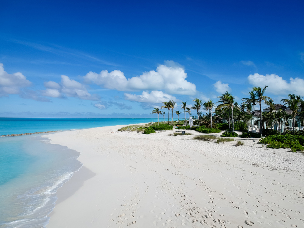
Texas’s barrier islands stretch along the Gulf of Mexico, offering opportunities for fishing, paddling, birding, beachcombing, and wildlife watching. From the shallow flats of the Laguna Madre to the ferry-linked shores of Bolivar Peninsula and Mustang Island, the coast blends recreation with ecological diversity.
Below, you’ll find detailed information on fishing hotspots, mapped paddling trails, ferry access, seasonal timing, and licensing requirements to help you plan your trip.
Best Texas Barrier Islands for Fishing and Wildlife Watching
Texas barrier islands support one of the most productive estuarine systems in the United States. The Laguna Madre, which runs roughly 130 miles from Corpus Christi Bay to near Port Isabel, is one of only a few hypersaline lagoons in the world. Its shallow seagrass flats provide habitat for spotted seatrout (speckled trout), red drum (redfish), and flounder.
The Laguna Madre is divided into Upper Laguna Madre (north of the JFK Causeway near Corpus Christi) and Lower Laguna Madre (near South Padre Island). Each section offers boat launches, wade-fishing access, and guide services.
Baffin Bay, part of the Upper Laguna Madre, is well known among anglers for producing trophy-sized trout due to its unique rock formations and salinity levels.
Beyond fishing, barrier islands such as Padre Island National Seashore, Mustang Island State Park, and Bolivar Peninsula offer wildlife viewing, especially during migratory bird seasons.
Kayaking, Surfing, and Swimming on Gulf Coast Islands
Water-based recreation is central to the island experience.
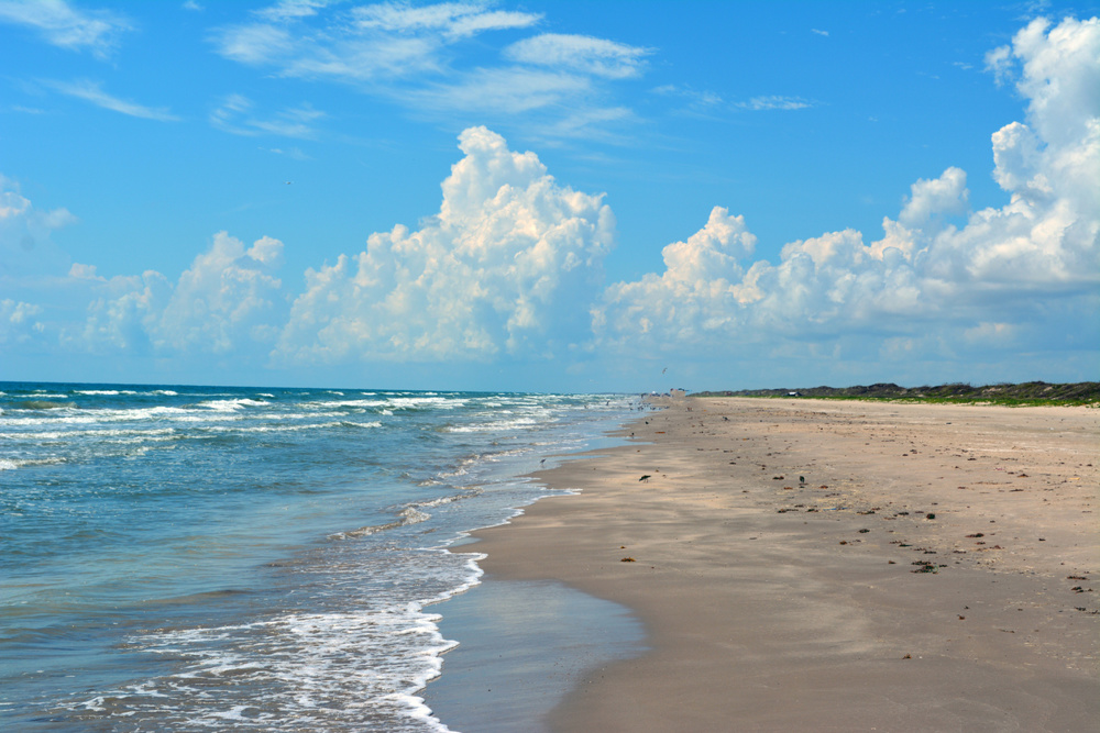
Mustang Island State Park includes a mapped paddling trail system with several designated routes in Corpus Christi Bay. The longest continuous Gulf beach in Texas is located at Padre Island National Seashore, stretching approximately 70 miles.
The Lighthouse Lakes Paddling Trail, located near Aransas Pass in Redfish Bay, was the first officially mapped kayak trail in Texas. It features multiple loop options through shallow flats and mangrove-style shorelines.
Other popular paddling areas include:
- Bird Island Basin (Laguna Madre) – Known for windsurfing and shallow-water access
- Packery Channel – Connects the Gulf and Laguna Madre near Corpus Christi
- Port O’Connor – Offers expansive bay systems and boat-access points
Always check tide levels and weather forecasts before launching, especially during windy conditions.
Padre Island National Seashore: Dune Exploration and Beach Driving Rules
Padre Island National Seashore, located south of Corpus Christi, protects approximately 70 miles of undeveloped Gulf shoreline—making it the longest stretch of protected barrier island in the world.
Visitors can explore natural dune systems, tidal flats, and remote shoreline areas. However, dune vegetation is fragile and plays a critical role in stabilizing the island. Walking is permitted, but driving or trampling vegetation within marked dune protection areas is prohibited.
Beach driving is allowed along most of the seashore, though conditions vary by tide and weather. Key guidelines include:
- A four-wheel-drive vehicle is strongly recommended beyond the first few miles south of the Malaquite Visitor Center.
- Check tide charts before traveling; high tides can eliminate safe driving lanes.
- Vehicles must stay on the beach below the vegetation line.
- Permits are required for overnight camping in designated areas.
Always consult National Park Service updates for road conditions and seasonal closures.
Camping on Mustang Island and Padre Island
Barrier island camping allows visitors to experience sunrise fishing, nighttime stargazing, and early-morning bird activity.
Mustang Island State Park
- Offers both developed campsites with water and electricity and primitive beachfront camping.
- Reservations are recommended, especially during spring and summer.
- Restrooms and rinse stations are available near developed sites.
Padre Island National Seashore
- Provides developed camping at Malaquite Campground.
- Primitive beach camping is permitted in designated areas along the shoreline.
- Backcountry camping requires attention to tide levels and vehicle readiness.
Campers should secure food against wildlife and prepare for strong coastal winds.
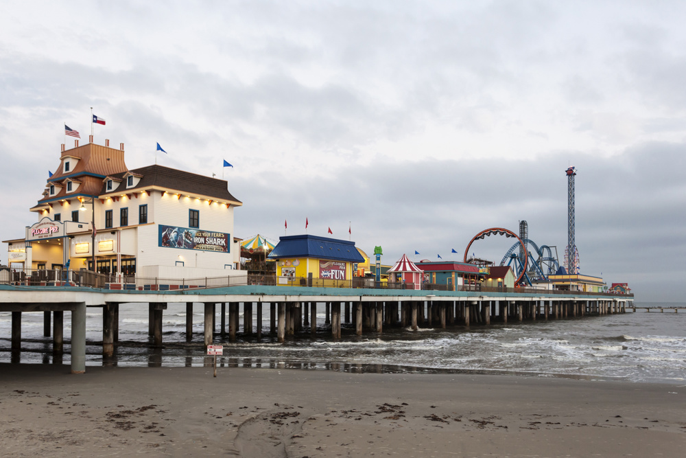
Ferry Schedules and Boat Launch Access Points
Two free vehicle ferry systems connect mainland highways to Texas barrier islands:
Galveston-Port Bolivar Ferry
- Approximately 2.7-mile crossing
- Operates 24 hours daily
- Crossing time averages 18–20 minutes
- Wait times increase during summer weekends and holidays
Port Aransas Ferry
- Short channel crossing between Aransas Pass and Port Aransas
- Operates 24 hours daily
- Typical crossing under 10 minutes
Ferry service is managed by TxDOT, and real-time updates are available through official traffic tools.
Boat ramps and launches are widely available at Mustang Island State Park, Padre Island National Seashore, and public marinas throughout the Laguna Madre system.
Peak Seasons for Fishing, Birding, and Beach Weather
Texas coastal seasons vary significantly.
Spring (March–May)
- Strong fishing for trout and redfish as water temperatures rise
- Peak spring bird migration at sites like High Island
- Comfortable beach weather before summer heat intensifies
Summer (June–August)
- Early morning and late evening fishing recommended
- Gulf waters warm and ideal for swimming
- Higher humidity and peak tourist crowds
Fall (September–November)
- Productive fishing during cooling water temperatures
- Reduced crowds after Labor Day
- Hurricane season (June–November) may affect travel plans
Winter (December–February)
- Excellent birding, including whooping cranes at Aransas National Wildlife Refuge
- Cooler water temperatures slow some inshore species
- Fewer beach visitors
Texas Coast by Region: Upper, Mid, and Lower Coast
Understanding Texas’s coastal geography helps with trip planning.
Upper Coast (Galveston to Sabine Pass)
- Bolivar Peninsula
- Galveston Island
- Sea Rim State Park
- Strong surf and proximity to Houston
Mid Coast (Matagorda to Corpus Christi)
- Port O’Connor
- Rockport
- Mustang Island
- Aransas National Wildlife Refuge
Lower Coast (Corpus Christi to South Padre Island)
- Padre Island National Seashore
- Laguna Madre
- South Padre Island
- Warmer winter temperatures and hypersaline lagoon fishing
Each region offers distinct ecosystems, bird migration timing, and fishing conditions.
Top Birding Sites Along the Coastal Trail
The Great Texas Coastal Birding Trail spans approximately 2,100 miles and connects more than 300 designated birding sites across 41 coastal counties.
Notable locations include:
- High Island – Spring migration hotspot
- Bolivar Flats Shorebird Sanctuary – Important habitat for migratory shorebirds
- Aransas National Wildlife Refuge – Wintering site of endangered whooping cranes
- Sea Rim State Park – Marsh and dune birding habitat
Uniform signage helps guide visitors between official birding trail sites.
Fishing Licenses, Park Fees, and What to Budget
Anyone age 17 or older must hold a valid Texas fishing license when fishing in public waters. Both residents and non-residents must purchase appropriate licenses.
Saltwater fishing requires a saltwater endorsement, while freshwater fishing requires a freshwater endorsement.
State park entry fees vary by location. While some parks host occasional free fishing days, a license is generally required unless otherwise specified by Texas Parks & Wildlife.
Visitors should also budget for:
- Parking fees at state parks or seashores
- Ferry wait times during peak travel periods
- Equipment rentals (kayaks, surfboards, guided fishing trips)
Checking official Texas Parks & Wildlife and TxDOT resources before departure ensures accurate, up-to-date regulations.